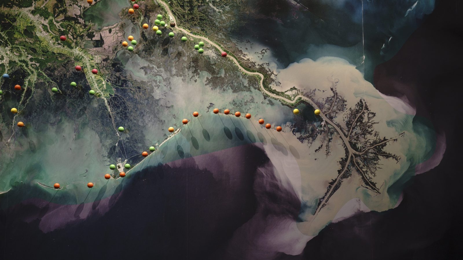
Over thousands of years, the Mississippi River wended its way through the lush and dense wetlands of the Barataria Basin in what’s now south-central Louisiana. As it flowed south on its way to the sea, the river continually poured sediment into the basin, gifting it with fresh, nutrient-rich river mud that replenished the land and prevented coastal erosion. But 20th-century innovations like dams and levees stopped the river’s natural systems. This, in combination with recent sea-level rise and the constant battering of supercharged hurricane seasons, means the sea now gnaws steadily at the bottom of the state, causing gradual but catastrophic land loss. Since 1932, the Barataria has lost 17 percent of its land. It’s predicted to lose another 200-plus square miles in the next 20 years.
To combat this, Louisiana officials broke ground Thursday on an ambitious, $ 2.92 billion project to divert sediment from the Mississippi River into the basin, mimicking the natural processes of the river’s flow in an attempt to save the state’s disappearing coast. The initiative is the first step in Louisiana’s $ 50 billion Coastal Master Plan, funded in part by a lawsuit settlement from the devastating Deepwater Horizon oil spill of 2010. Though many laud the project, some worry it will harm existing wildlife in the basin, while taking a very long time to do its work.
The main event for the mid-Barataria Sediment Diversion Project will be “punching a hole in the levee” that prevents the Mississippi River from regularly overflowing its banks and changing course, said Bren Haase, the chair of the state’s Coastal Protection and Restoration Authority. The project involves installing a complex gate structure through the Mississippi River’s levee, allowing some water to flow into a channel, which will then empty out over the basin and wash into the sea, carrying mud, silt, and clay with it to create new land. It’ll take five years to build. Over 50 years, the diversion project should add 21 square miles of land to the basin, according to Haase.
Supporters note the project will help restore a degraded ecosystem to some of its former glory. “There are large areas of open water where the marsh has just eroded and sunk away,” said Natalie Snider, associate vice president for the Environmental Defense Fund’s Climate Resilient Coasts and Watersheds program.
Engineers factored sea-level rise projections of up to two and a half feet into the project’s design. But some scientists warn that sea-level rise is ultimately a wild card. There’s no knowing exactly how much, how or quickly, oceans will go up in the coming decades — and at some point, funding will likely run out for updates. For all the acres gained, they said, many will still be lost over time to the ravages of climate change.
“It’s mitigation, not restoration,” said Rex Caffey, an associate professor of wetlands and coastal resources at Louisiana State University. “Slowing down the bleed.”
The project has also been met with outcry from some of the people who make their living from the region’s fisheries. Louisiana has the most biorich fisheries of any state, and some say the influx of freshwater from the project will decimate saltwater-loving stock in the basin, like oysters and shrimp.
This story was originally published by Grist with the headline Louisiana breaks ground on experimental project to rebuild lost wetlands on Aug 10, 2023.
